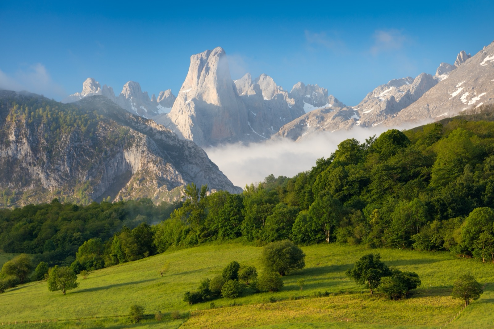
Lakes of Covadonga: Access Rules, the Lakes Bus, Walks and the Holy Cave
Visiting the Lakes of Covadonga in the Picos de Europa: the 2026 road closures, the bus from Cangas de Onís (3,000 passengers a day), Lakes Enol and Ercina at 1,070 and 1,108 m, easy walks, the basilica and Holy Cave, and Cangas de Onís.
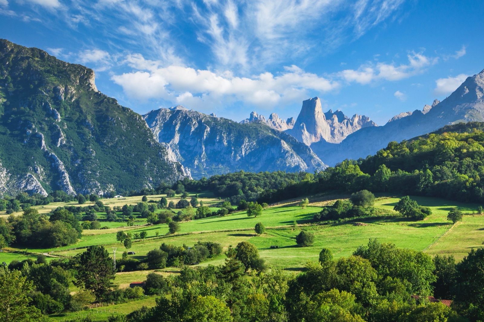
The Cares Route and Bulnes: Walking the Divine Gorge, the Funicular and the Naranjo de Bulnes
A guide to the Cares route (12 km each way from Poncebos to Caín), its history, how hard it is and how long it takes, the Bulnes funicular (€17.61 one way, 7 minutes), the Naranjo de Bulnes at 2,519 m, and Cabrales cheese caves.
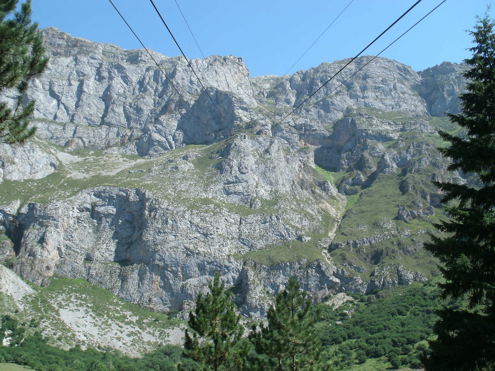
Fuente Dé, Potes and Santo Toribio: The Cable Car and the Liébana Valley
A guide to the Cantabrian side of the Picos de Europa: the Fuente Dé cable car (753 m in about 4 minutes to 1,823 m), its hours and weather closures, walks from the top, the Hermida gorge, Potes and its tower, and the monastery of Santo Toribio with the Lignum Crucis.
Picos de Europa Map: The Three Massifs, Regions, Valleys and Where to Start
How the Picos de Europa fit together: the three massifs and their rivers, the highest peaks, the regions and municipalities, the gateway towns, viewpoints and centres.
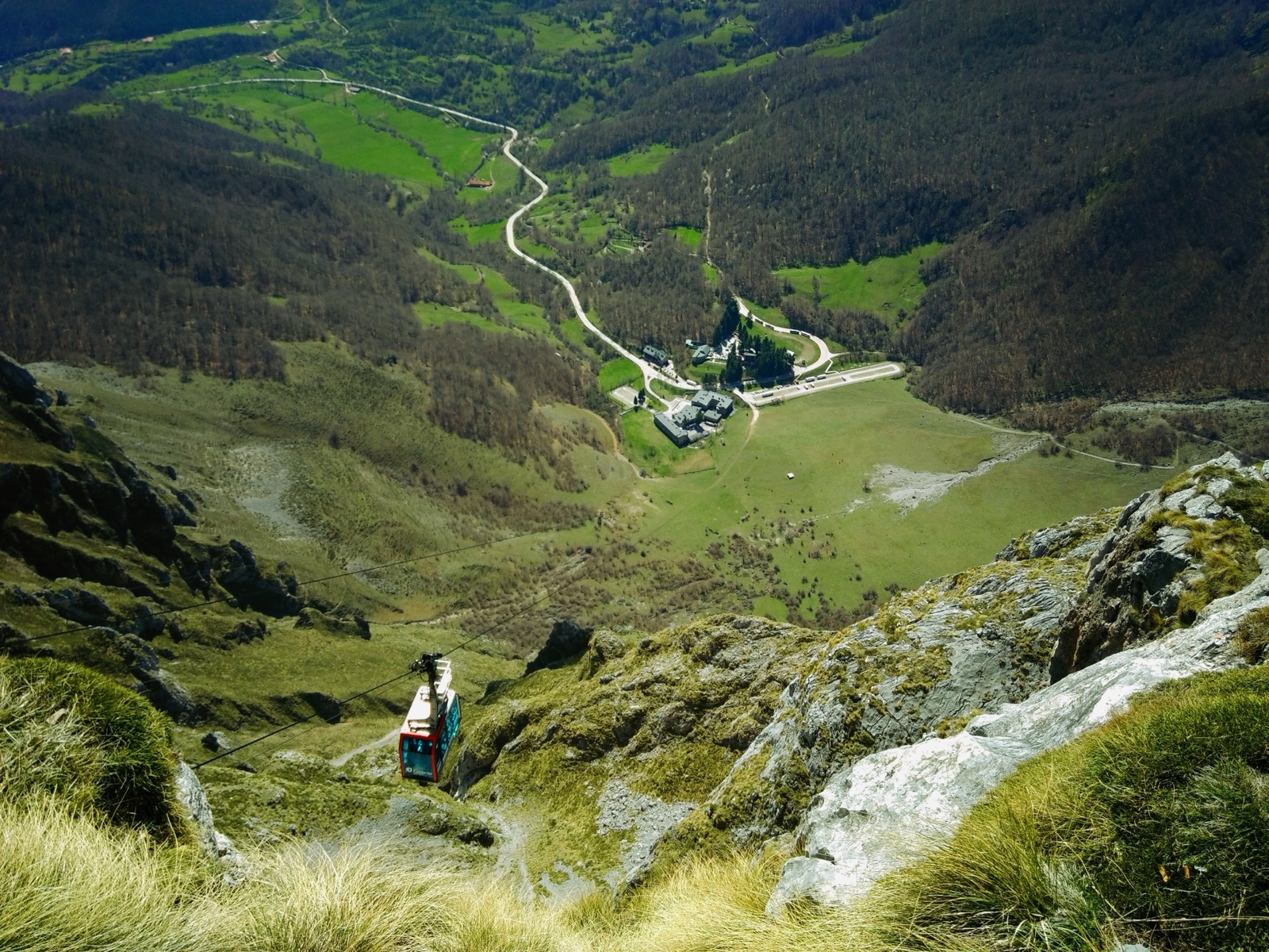
Camping in the Picos de Europa: Campsites, Wild Camping Rules and Bivouacs
Where to camp in the Picos de Europa: campsites near Cangas de Onís, Arenas de Cabrales, Potes and Valdeón, prices and seasons, and the park's bivouac rules.
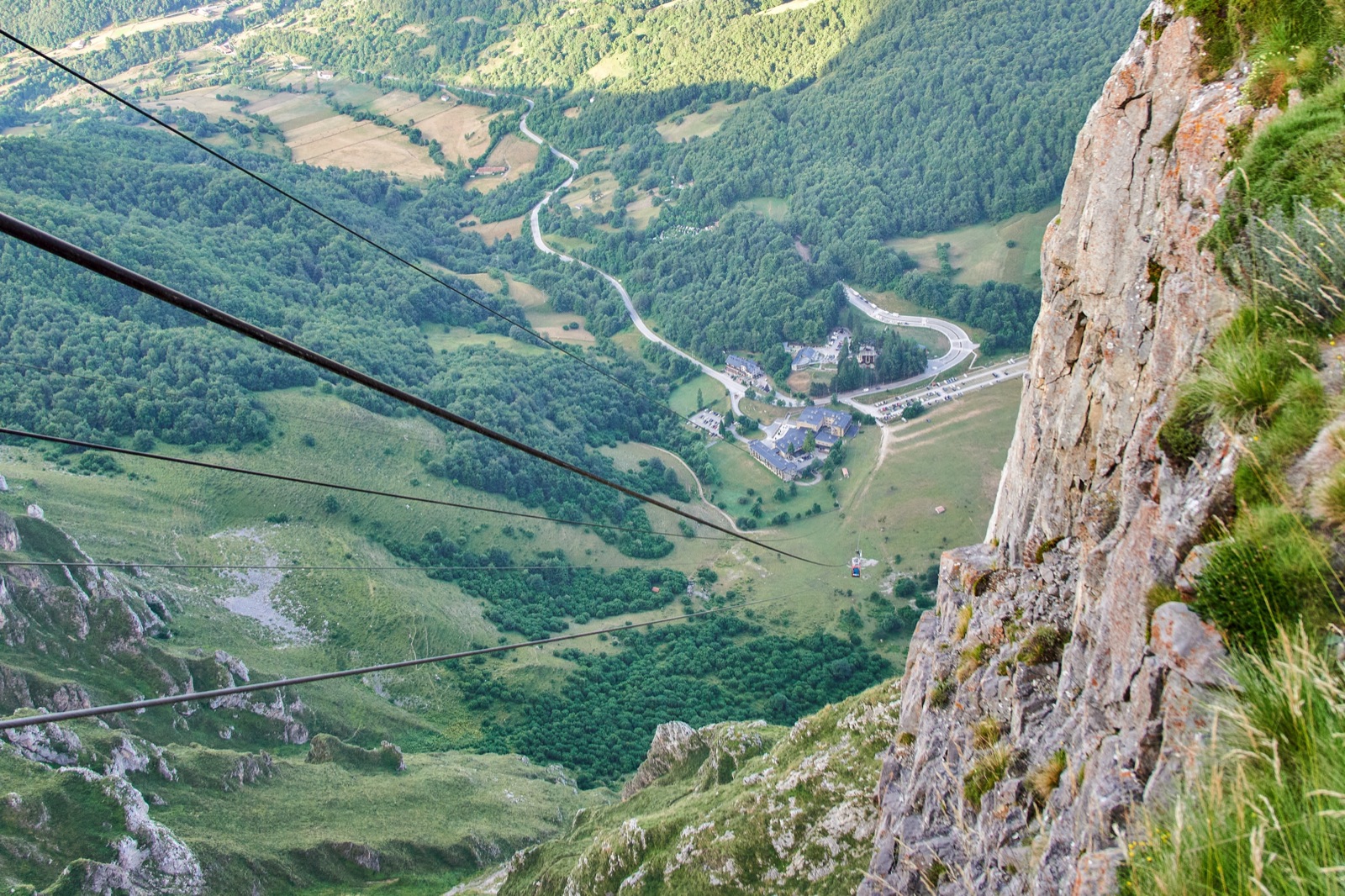
Where to Stay in the Picos de Europa: Cangas de Onís, Arenas, Potes or Valdeón?
The best base towns for the Picos de Europa compared: Cangas de Onís, Arenas de Cabrales, Potes, Valdeón, Sotres and Fuente Dé, plus paradors, refuges and transport.
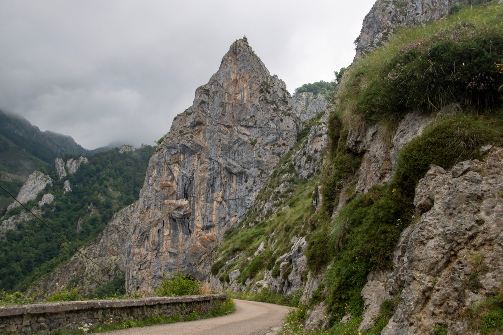
How to Get to the Picos de Europa: Airports, Buses, Driving and Park Shuttles
Getting to the Picos de Europa from Asturias, Santander and Bilbao airports or Madrid: buses to Cangas de Onís and Potes, driving routes, and the lakes and Cares shuttles.
Anillo de Picos: The Hut-to-Hut Trek Through the Picos de Europa Refuges
A planning guide to the Anillo de Picos hut-to-hut trek: its versions, the stages between refuges with times, refuge seasons and booking, gear, fog and safety.